Juta
Mtskheta-Mtianeti · Góry
O miejscu: Juta
Wycieczki obejmujące miejsce: Juta
Zobacz wszystkie 4 wycieczki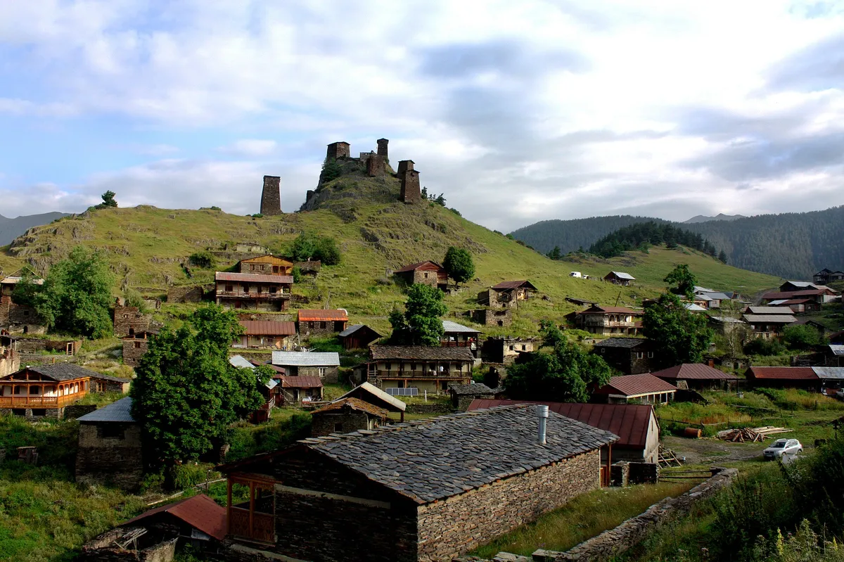 Umiarkowana
Georgia 4x4 Tour: Tusheti, Khevsureti & Kazbegi — 8-Day Private Trip
Prywatna · 8 dni
1095 $/os. · dla 4 osób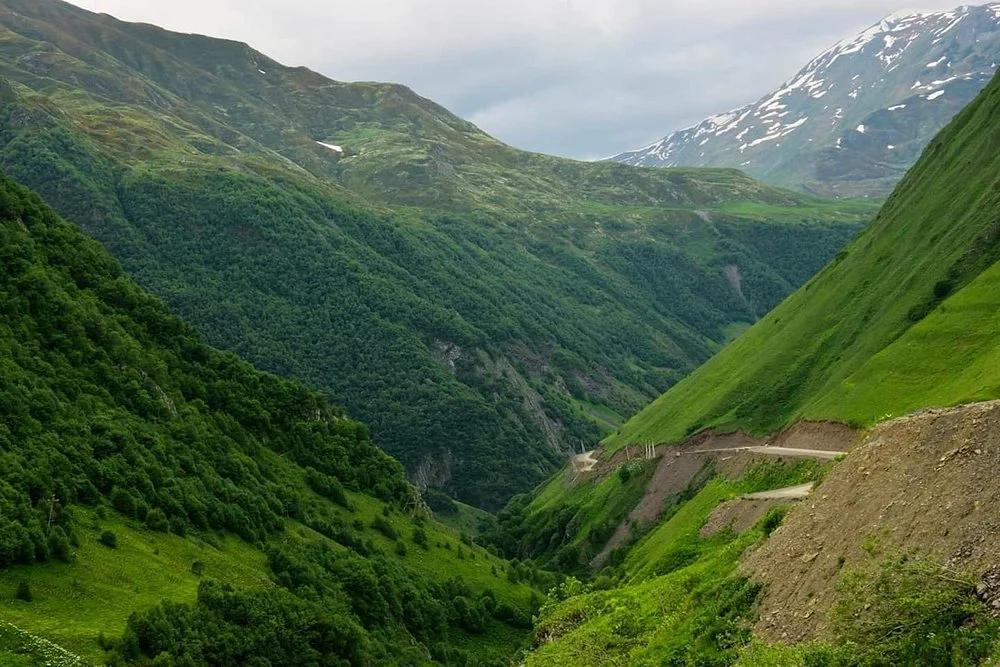 Umiarkowana
Juta Valley Hike under the Chaukhi Peaks — Private Day Trip from Tbilisi
Prywatna · 1 dzień
89 $/os. · dla 4 osób Umiarkowana
Kazbegi Adventure Weekend: Rafting, Hiking & Paragliding — 3-Day Private Tour
Prywatna · 3 dni
575 $/os. · dla 4 osób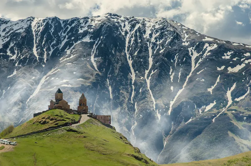 Umiarkowana
Atrakcje, które warto zobaczyć
Chaukhi massif
The rock towers at the head of the valley, reaching 3,842 m, visible from most of the walk.
Juta valley walk
A gentle path up the meadows beside the stream, about 3–4 hours return from the village with 360–400 m of climbing.
Fifth Season hut
A café and lodge in the meadows a short, steep climb above the village, with a terrace facing the Chaukhi peaks.
Chaukhi Pass trail
A demanding full-day route over the ridge to Roshka in Khevsureti, for experienced hikers with a guide.
W pobliżu
Stepantsminda (Kazbegi): The main town, with Gergeti Trinity Church, about 20 km (40–50 min to the road closure).
Sno
The village at the mouth of the valley, with carved stone heads by the sculptor Merab Piranishvili, about 12 km down the valley.
Gveleti Waterfall
A short hike in the Dariali gorge, about 25 km north (50 min).
Warto wiedzieć
- Dojazd
About 160 km (3.5–4 h) from Tbilisi to the road closure: the Georgian Military Highway to Sno, about 10 km up the valley road by 4x4 (Sno to Juta is about 13 km), then a walk or village taxi past the closed final 2.6 km.
- Najlepszy czas
July and August bring flowering meadows and the most reliable weather, and September is clearer and quieter; from October the road and lodges wind down for winter.
- Zalecany pobyt
Half a day to 1 day
- Access
- The last 2.6 km of the Sno–Juta road has been closed since part of it collapsed in June 2025. A 4x4 takes you to the closure, then you walk about 45 minutes or take a village taxi past it; we check the current status before your date.
- Season
July to September; snow can linger on the upper path until late June.
- Heads-up
No ATM or shop of any size in Juta; bring cash and water from Stepantsminda.
- What to bring
Sturdy shoes, rain jacket and a warm layer; the valley is at 2,200–2,600 m and weather changes fast.
Historia i kultura
Historia
Noclegi
Warto zobaczyć w pobliżu
- KazbegiStepantsminda, still widely called Kazbegi, is the mountain town at about 1,740 m on the Georgian Military Highway, 152 km north of Tbilisi…
- Ananuri FortressAnanuri is a 17th-century fortress of the Dukes of Aragvi above the turquoise Zhinvali reservoir, about 70 km (1–1.25 h) north of Tbilisi…
- Trinity Church GergetiGergeti Trinity Church (Tsminda Sameba) stands alone on a grassy ridge at 2,170 m above Stepantsminda, about 152 km north of Tbilisi…
- MtskhetaMtskheta, about 25 km (30 min) north of Tbilisi where the Aragvi meets the Mtkvari, was the capital of the ancient kingdom of Kartli…
- Gudauri Ski ResortGudauri ski resort, the largest in Georgia, is on the Georgian Military Highway about 120 km north of Tbilisi, just below the Jvari Pass.
- Jvari MonasteryJvari Monastery stands on a rocky hilltop above Mtskheta, about 20 km north of Tbilisi, where the Aragvi river flows into the Mtkvari.
Przewodniki do planowania podróży
Wszystkie przewodniki podróżnicze- Kazbegi National Park: Day Hikes Beyond GergetiBeyond the Gergeti Trinity walk, Kazbegi has easy and harder day hikes: the Gveleti waterfalls (about an hour), the Sno valley and its…
- Truso or Juta: Which Kazbegi Valley Hike?Truso is a long, nearly flat valley walk past travertines, a mineral lake and empty villages, with a passport check.
Ta strona w innych językach